New coastal path connects Mablethorpe to Humber Bridge
The latest stretch of the King Charles III England Coast Path (KCIIIECP) from Maplethorpe to Humber Bridge opens today.

Two coastal path walkers
Families, nature lovers and ramblers can now explore a stunning new 47 miles (75km) coastal route along Lincolnshire’s diverse shoreline.
The new section, connecting Mablethorpe to the Humber Bridge, takes walkers from traditional seaside towns through expansive dune systems. Through nature reserves and to the industrial heritage of the Humber estuary.
This opening creates an almost continuous 160-mile coastal route from Sutton Bridge to Easington, with just 2 small gaps at Gibraltar Point bridge and Immingham.
Natural England’s Deputy Director for Natural England in the East Midlands Victoria Manton, said:
“This new stretch of the King Charles III England Coast Path will give people from all over the country access to our beautiful local coastline, connecting them with nature and providing health and wellbeing benefits. The trail will also support the local economy - bringing walkers and visitors to the towns and villages for daytrips, refreshments and places to stay.”
Chris Miller, Head of Environment at Lincolnshire County Council said:
“With these latest additions to the King Charles III England Coast Path coming to fruition we can now provide one of the most spectacular walks anywhere in the country.”
“This is the outcome of several agencies working together to give legal access to a unique part of the country for people to enjoy. There is a vast array of wildlife and topography that you only get on our coast and now anyone who wants to see it, can do so for free.”
The route showcases the remarkable diversity of Britain’s coastline. Visitors can experience the traditional seaside charm of Mablethorpe, with its donkey rides and holiday parks, before discovering the tranquillity of Saltfleetby and Theddlethorpe National Nature Reserve.
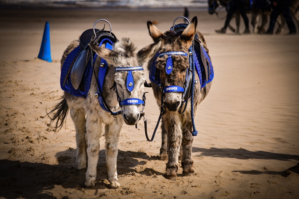
Two donkeys on the beach
Further north, the path passes Donna Nook bombing range, where bizarrely around 2000 grey seal pups are born each autumn. Then follows the beaches of resort Cleethorpes and the fishing town of Grimsby. Before traversing the industrial and port developments around Immingham, ultimately reaching the iconic Humber Bridge.
When the final 41-mile link between Easington and Bridlington North Sands opens later this year, there will be over 450 miles of continuous path from Sutton Bridge to the Scottish border.
The project now means over half of the entire King Charles III England Coast Path is open for public use.
Research shows coastal paths provide significant health and wellbeing benefits while generating valuable tourism income for local businesses along the route.
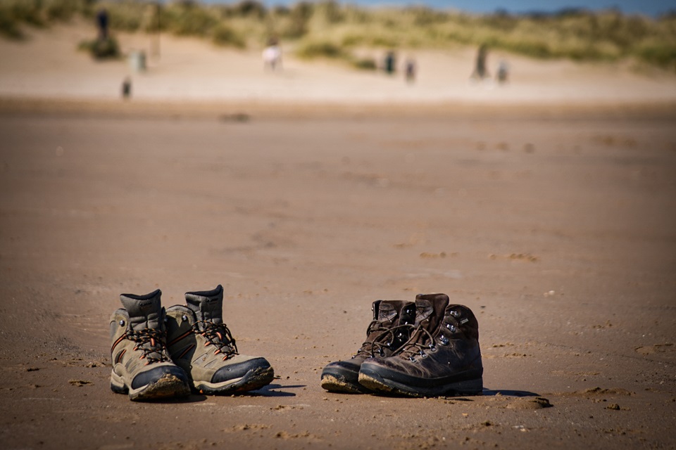
Two pairs of walking boots on the sandy beach
The King Charles III England Coast Path aims to stay as close to the sea as possible. In many places, that means walking right where land meets sea, occasionally heading inland, though usually only for short distances.
The has lots of maps and advice on route-planning and details of places to visit, stay or eat.